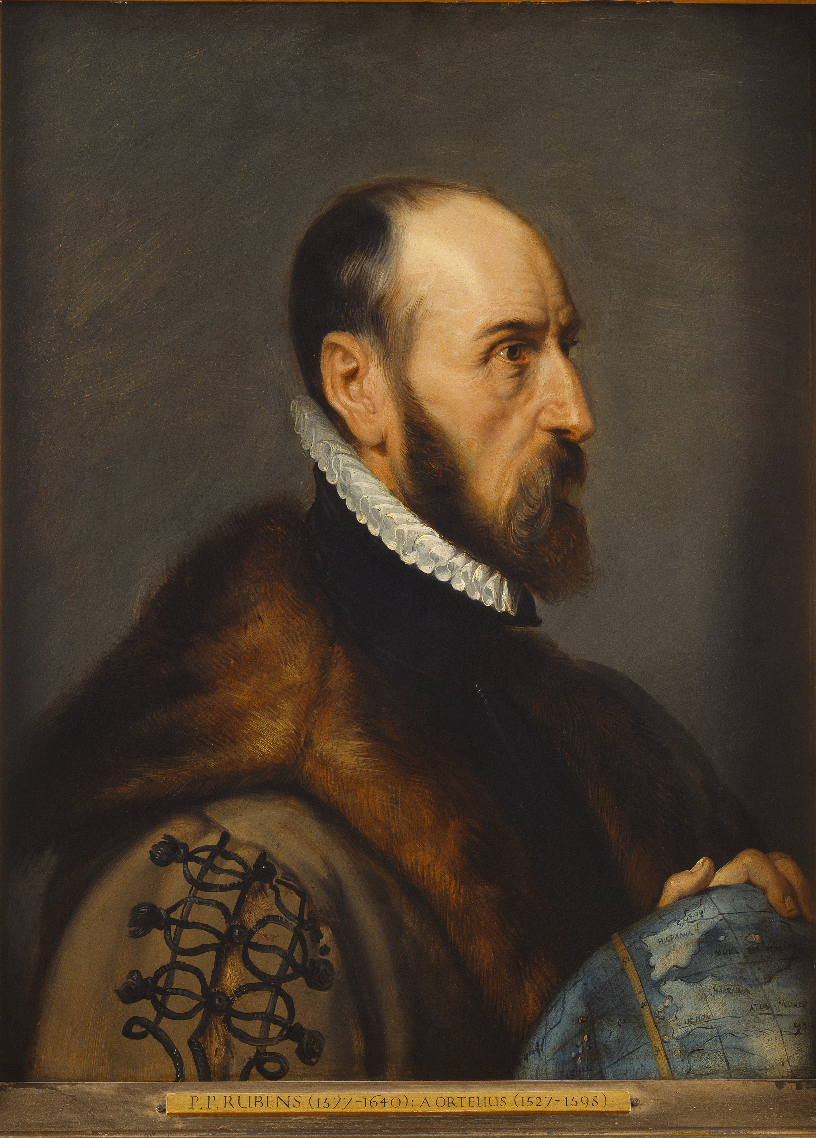
Abraham Ortelius
Abraham Ortelius (/ɔːrˈtiːliəs/; also Ortels, Orthellius, Wortels; 4 or 14 April 1527 – 28 June 1598) was a cartographer, geographer, and cosmographer from Antwerp in the Spanish Netherlands. He is recognized as the creator of the first modern atlas, the Theatrum Orbis Terrarum (Theatre of the World). Along with Gemma Frisius and Gerardus Mercator, Ortelius is generally considered one of the founders of the Netherlandish school of cartography and geography. He was a notable figure of this school in its golden age (approximately 1570s–1670s) and an important geographer of Spain during the age of discovery. The publication of his atlas in 1570 is often considered as the official beginning of the Golden Age of Netherlandish cartography. He was the first person proposing that the continents were joined before drifting to their present positions.[1]
Abraham Ortelius
4 or 14 April 1527
28 June 1598 (aged 71)
Creator of the first modern atlas; proposing the idea of continental drift
Life[edit]
Abraham Ortelius was born on either 4 April or 14 April 1527 in the city of Antwerp, which was then in the Spanish Netherlands. The Ortels or Wortels (latinized as Orthellius and Ortelius) family was originally from Augsburg, a Free imperial city of the Holy Roman Empire. Abraham's grandfather, Willem Ortels, was a pharmacist. He had moved in 1460 to Antwerp where he married Mathilde 's Jagers, alias Reynaerts. They had five children: Imbert who inherited his father's pharmacy, Anna, Odille (or Ottilia of Odilia), who married Nicolaes van der Voorden, a merchant in Brussels, and, in her second marriage, Jacobus van Meteren from Breda, who was a Protestant and supervised the printing of English versions of the bible in England, Leonard (born in 1500 and father of Abraham Ortelius) and Josef. From his second marriage with Maria Antheard a son called Willem was born. The family lived in the Kipdorp street in Antwerp and was fairly well off. Leonard Ortelius married Anna Herwayers and they had three children, Abraham, Anna who would stay on her brother's side and Elisabeth who married a trader named Jacob Cool Sr., whose son Jacob Cool Jr. (known as Ortelianus) would be the principal heir of Abraham Ortelius.[2]
Leonard Ortelius was well educated. He spoke Greek and Latin, and worked with his brother-in-law Jacob van Meteren on the translation of Miles Coverdale's English Bible. In 1535, they were both prosecuted for possessing suspicious books. Searches turned up nothing and the case was subsequently dismissed. Leonard Ortelius was a successful antique dealer. Following the death of his father, Abraham Ortelius' uncle Jacobus van Meteren returned from exile in England to take care of him. Abraham remained close to his cousin Emanuel van Meteren, who would later move to London.[3] In 1575 Abraham was appointed geographer to the king of Spain, Philip II, on the recommendation of Arias Montanus, who vouched for his orthodoxy.[4][5]
He traveled extensively in Europe and is specifically known to have traveled throughout the Habsburg Netherlands; in southern, western, northern, and eastern Germany (e.g., 1560, 1575–1576); France (1559–1560); England and Ireland (1576); and Italy (1578, and perhaps two or three times between 1550 and 1558).[4]
Beginning as a map-engraver, in 1547 he entered the Antwerp Guild of Saint Luke as an illuminator of maps. He supplemented his income trading in books, prints, and maps, and his journeys included annual visits to the Frankfurt book and print fair, where he met Gerardus Mercator in 1554.[3] In 1560, however, when travelling with Mercator to Trier, Lorraine, and Poitiers, he seems to have been attracted, largely by Mercator's influence, towards the career of a scientific geographer.[4] He died in Antwerp.
Modern use of maps[edit]
Originals of Ortelius's maps are popular collectors' items and often sell for tens of thousands of dollars. Facsimiles of his maps are also available from many retailers. A map he made of North and South America is also included in the world's largest commercially available jigsaw puzzle, which is of four world maps.[17] This puzzle is made by Ravensburger, measures 6 feet (1.8 m) × 9 feet (2.7 m), and has over 18,000 pieces.