Katana VentraIP

Angeles National Forest

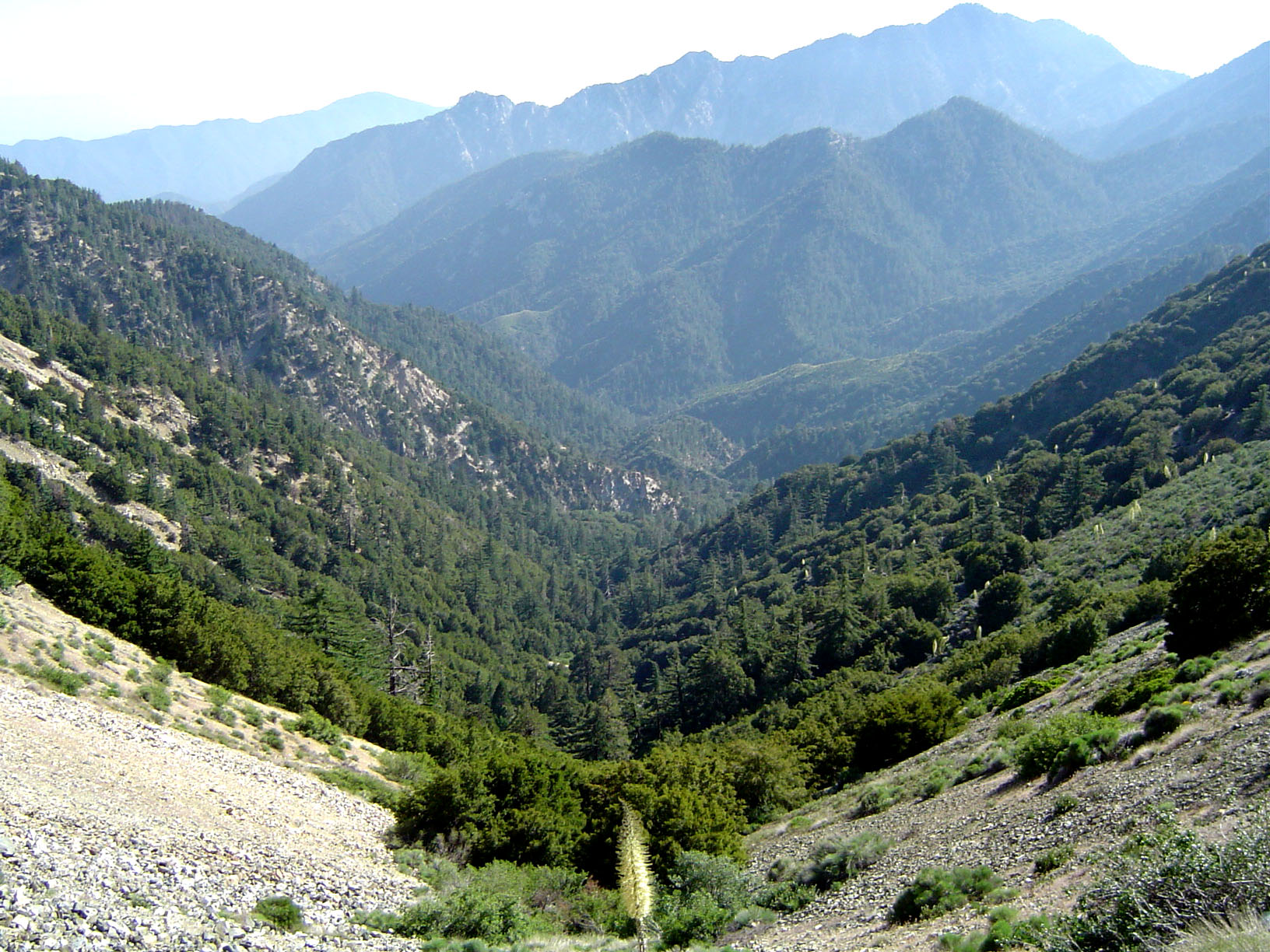
The Angeles National Forest (ANF) of the U.S. Forest Service is located in the San Gabriel Mountains and Sierra Pelona Mountains, primarily within Los Angeles County in southern California. The ANF manages a majority of the San Gabriel Mountains National Monument.

Angeles National Forest

655,387 acres (2,652.26 km2)

July 1, 1908

717[1]

The national forest was established in 1908, incorporating the first San Bernardino National Forest and parts of the former Santa Barbara and San Gabriel National Forests. Angeles National Forest headquarters are located in Arcadia, California.

mostly in San Bernardino National Forest

Cucamonga Wilderness

Magic Mountain Wilderness

Pleasant View Ridge Wilderness

San Gabriel Wilderness

partially in San Bernardino National Forest

Sheep Mountain Wilderness

Access[edit]

A National Forest Adventure Pass is required for parking at many locations in the Angeles National Forest and other National Forests in Southern California, and this can be obtained online or from visitor centers and local merchants.[14] Los Angeles County has declared that passes are not required on county-maintained roads. There are also many other areas that do not require the pass.

Acres of land: 700,176 (2652 km2)

Wilderness areas acres: 80,284 (324.9 km2)

Miles of roads: 1,032 (1661 km)

Visitor centers: 4

Information centers: 4

Fire lookout towers: 2

Recreational residences: 505

Picnic areas: 36

Campgrounds: 66

Ski areas: 2

Entrance stations: 2

: Restoration and operation of fire lookout towers in the ANF

Angeles National Forest Fire Lookout Association

: Saving lives through mountain rescue and safety education

Altadena Mountain Rescue Team

Concerned Off-Road Bicyclists Association: Restoration and maintenance of multi-use trails in the ANF

Sierra Madre Search & Rescue: A group of dedicated volunteers committed to saving lives in the wilderness

[16]

: California's hiking and nature trail repair group[17]

San Gabriel Mountains Trailbuilders

: Maintains the West Fork of the San Gabriel River and Beer Creek[18]

West Fork Conservancy

: Organizes Visitor Center information, trail repair, and a broad spectrum of forestry efforts[19]

Angeles Volunteer Association

Fisheries Resource Volunteer Corps: works with the Forest Service, helping with various projects during the year

[20]

San Dimas Mountain Rescue Team: Highly trained mountain rescue team http://www.savetheeastfork.org/ Archived January 9, 2016, at the Wayback Machine

[21]

: Volunteer Reserve Deputy Sheriffs are paid $1 a year for their work

Los Angeles County Sheriff's Air Rescue 5

Save The East Fork Association: Works along the East Fork of the San Gabriel River

[22]

Helping Our Mountain Environment: HOME—Glendora Mountain Road (GMR) trash and spray paint cleaning

[23]

Lowelifes Trail Crew: Lowelifes focuses on trail work in Southern California's Angeles National Forest, fostering conservation, sustainability, & community in Los Angeles County.

[24]

The Volunteers of the Angeles National Forest (VANF) are the representatives of USFS at Big Pines Visitor Center, located 3 miles west of the town of Wrightwood. The Visitor Center supplies information, directions and education to the public by staffing the center on weekends, providing handouts, and displaying preserved local forest animals, birds, and reptiles.

[25]

Jackson Lake

Jackson Lake

Along the Icehouse Canyon Trail

Along the Icehouse Canyon Trail

View west from Angeles Crest Highway

View west from Angeles Crest Highway

Riparian zone habitat.

Riparian zone habitat.

Montane chaparral ecotone with the Mojave Desert. Yellow sulphurflower buckwheat flowers in foreground.

Montane chaparral ecotone with the Mojave Desert. Yellow sulphurflower buckwheat flowers in foreground.

NO. 717 THE ANGELES NATIONAL FOREST - The first national forest in the State of California and second in the United States, Angeles National Forest was created by proclamation of President Benjamin Harrison on December 20, 1892. The first name given to the forest, "'San Gabriel Timberland Reserve," was changed to "San Gabriel National Forest" March 4, 1907, and then to "Angeles National Forest" on July 1, 1908..

The California Historical Landmark Marker NO. 717 at San Gabriel Mountain, Clear Creek vista point, State Hwy 2, 8.3 mi N of I-210, La Canada reads:[26]

San Gabriel Mountains−related topics

San Gabriel Mountains National Monument−related topics

Henninger Flats

—adjacent to the northwest

Los Padres National Forest

—adjacent the east

San Bernardino National Forest

Leadabrand, Russ (1963). Guidebook to the San Gabriel Mountains of California. Los Angeles: Ritche Press.  0378034227.

ISBN

Robinson, John W. (1977). The San Gabriels: Southern California Mountain Country. San Marino: Goldwest Books.  9780870950612.

ISBN

Robinson, W. W. (1946). . Los Angeles: Title and Trust Insurance co.

The Forest and the People: The Story of the Angeles National Forest

—at National Forest Service (Accessed 05 Dec 2014)

Official Angeles National Forest website

—Largest campground in the Angeles National Forest (Accessed 05 Dec 2014)

Crystal Lake Recreation Area

at Local Hikes (Accessed 05 Dec 2014)

Southern California Trails

—Wrightwood Hiking Trails (Accessed 05 Dec 2014)

Hiking Trails around Wrightwood, in the Angeles National Forest

—San Gabriel Mountains (Accessed 05 Dec 2014)

Mountains around Wrightwood, in the Angeles National Forest

—Canyons and Valleys in the Angeles National Forest (Accessed 05 Dec 2014)

Canyons and Valleys around Wrightwood, in the Angeles National Forest

- saved at archive.org

Photograph of Angeles National Forest fire bulldozer transport December 2017

Los Angeles Times Photographic Archive (Collection 1429). UCLA Library Special Collections, Charles E. Young Research Library, University of California, Los Angeles.

Image of vacationers at Crystal Lake, Angeles National Forest, 1935.