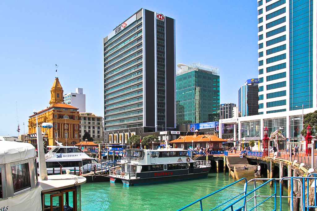
Auckland waterfront
The Auckland waterfront (rarely the Auckland harbourfront) is a city-side stretch of the southern Waitematā Harbour coastline in Auckland, New Zealand. Previously mostly dominated by Ports of Auckland uses, from the 2000s on it is becoming increasingly open to recreational public use, with a number of former wharves being converted to office, entertainment, and later also some residential uses.
Extents[edit]
The waterfront stretches roughly from the suburb of Saint Marys Bay / the Auckland Harbour Bridge in the west to the Ports of Auckland areas in the east. However, in most usage, 'Auckland waterfront' only refers to those parts freely accessible to the public (such as around the Viaduct Basin and the Auckland CBD), and thus at the moment excludes much of the Western Reclamation and almost the whole of the Ports of Auckland area to the east.
While Auckland City technically has a second waterfront on the Manukau Harbour, this is never called 'Auckland waterfront'.