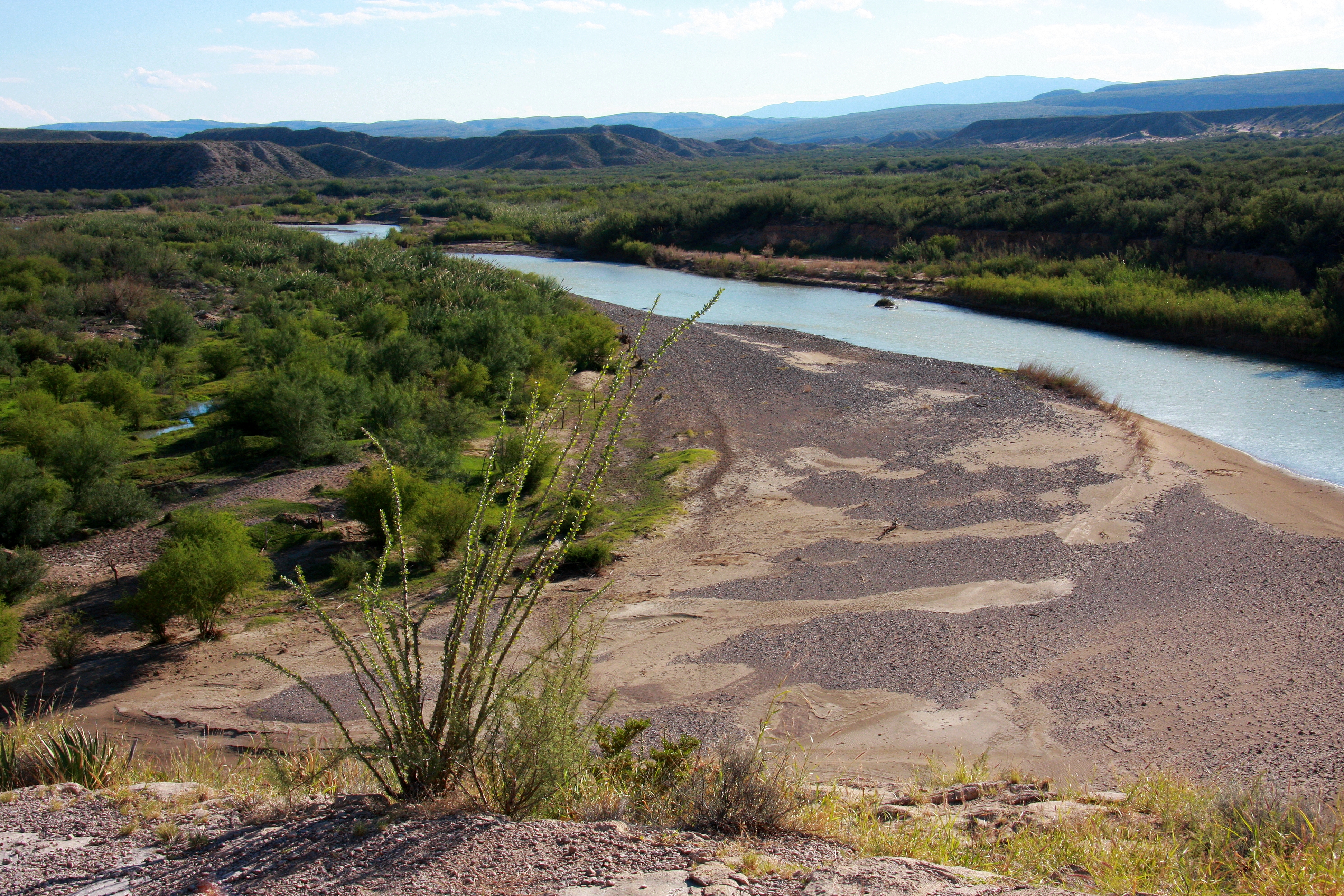
Rio Grande
The Rio Grande (/ˌriːoʊ ˈɡrænd/ or /ˌriːoʊ ˈɡrɑːndeɪ/) in the United States or the Río Bravo (del Norte) in Mexico (Spanish pronunciation: [ˈri.o ˈβɾaβo ðel ˈnoɾte]) is one of the principal rivers (along with the Colorado River) in the southwestern United States and in northern Mexico.[6][7][8] The length of the Rio Grande is 1,896 miles (3,051 km), making it the 4th longest river in the United States and in North America by main stem. It originates in south-central Colorado, in the United States, and flows to the Gulf of Mexico.[9] The Rio Grande drainage basin (watershed) has an area of 182,200 square miles (472,000 km2);[3] however, the endorheic basins that are adjacent to and within the greater drainage basin of the Rio Grande increase the total drainage-basin area to 336,000 square miles (870,000 km2).[10]
"Río Bravo" redirects here. For other uses, see Río Bravo (disambiguation) and Rio Grande (disambiguation).
Rio Grande
Río Bravo del Norte (in Spanish), Tooh Baʼáadii (in Navajo), Kótsoi (in Jicarilla Apache)
Main stem source: Canby Mountain, Continental Divide
San Juan Mountains, Rio Grande National Forest,[1] Colorado, United States
12,000 ft (3,700 m)[1]
Most distant source: Pole creek, Unnamed peak 13450, Continental Divide
San Juan Mountains, Rio Grande National Forest,[1] Colorado, United States
12,760 ft (3,890 m)
0 ft (0 m)
1,896 mi (3,051 km)[1]
182,200 sq mi (472,000 km2)[3]
2,403 cu ft/s (68.0 m3/s)[4]
24 cu ft/s (0.68 m3/s)
964,000 cu ft/s (27,300 m3/s)
Wild 150.1 miles (241.6 km)
Scenic 108.5 miles (174.6 km)
Recreational 0.8 miles (1.3 km)
October 2, 1968[5]
The Rio Grande with its fertile valley, along with its tributaries, is a vital watersource for seven US and Mexican states, and flows primarily through arid and semi-arid lands. After traversing the length of New Mexico, the Rio Grande becomes the Mexico–United States border, between the U.S. state of Texas and the northern Mexican states of Chihuahua and Coahuila, Nuevo León and Tamaulipas; a short segment of the Rio Grande is a partial state-boundary between the U.S. states of New Mexico and Texas. Since the mid–twentieth century, only 20 percent of the Rio Grande's water reaches the Gulf of Mexico, because of the voluminous consumption of water required to irrigate farmland (e.g. the Mesilla and Lower Rio Grande Valleys) and to continually hydrate cities (e.g. Albuquerque); such water usages are additional to the reservoirs of water retained with diversion dams.[1] 260 miles (418 km) of the river in New Mexico and Texas are designated as the Rio Grande Wild and Scenic River.[11]
Río Grande is Spanish for "Big River" and Río Grande del Norte means "Big River of the North". In English, Rio Grande is pronounced either /ˈriːoʊ ˈɡrænd/ or /ˈriːoʊ ˈɡrɑːndeɪ/.
In Mexico, it is known as Río Bravo or Río Bravo del Norte, bravo meaning (among other things) "furious", "agitated" or "wild".
Historically, the Pueblo and Navajo peoples also have had names for the Rio Grande/Rio Bravo:
The four Pueblo names likely antedated the Spanish entrada by several centuries.[48]
Rio del Norte was most commonly used for the upper Rio Grande (roughly, within the present-day borders of New Mexico) from Spanish colonial times to the end of the Mexican period in the mid-19th century. This use was first documented by the Spanish in 1582. Early American settlers in South Texas began to use the modern 'English' name Rio Grande. By the late 19th century, in the United States, the name Rio Grande had become standard in being applied to the entire river, from Colorado to the sea.[48]
By 1602, Río Bravo had become the standard Spanish name for the lower river, below its confluence with the Rio Conchos.[48]