Street layout of Seattle
The street layout of Seattle is based on a series of disjointed rectangular street grids. Most of Seattle and King County use a single street grid, oriented on true north. Near the center of the city, various land claims were platted in the 19th century with differently oriented grids, which still survive today. Distinctly oriented grids also exist in some cities annexed by Seattle in the early 20th century, such as Ballard and Georgetown. A small number of streets and roads are exceptions to the grid pattern.
Street addresses in Seattle (and throughout much of King County) follow a uniform numbering plan. On roads that run north and south [generally called an Avenue], odd numbered addresses are on the west side and even numbered addresses are on the east side. On roads that run east and west [generally called a Street], odd numbered addresses are on the south side and even numbered addresses are on the north side. The address is based on its location relative to the grid (not relative to the location of the beginning of each separate road, or its nearest intersection) with the last two digits consecutively incrementing with the grid and the leading digits designating the location on the grid.[1]
Some mnemonics are helpful here:
The name 32nd Avenue NE applies to several physically discontinuous street segments running along approximately the same line of the grid. One of these segments runs from NE 75th Street to NE 80th Street, crossed only by NE 77th Street; its two blocks are the 7500 block and the 7700 block. Buildings on that street between 75th and 77th would have four-digit addresses beginning with 75; buildings above 77th would have four-digit addresses beginning with 77. If there is such an address as 7764 32nd Avenue NE, then it is on the east side of the street rather far up the 7700 block, and if there is a 7765 it will be approximately across the street from 7764.
North of the ship canal in Seattle, and north of NE 140th St in East King County, grid numbers are spread in increments by 20 per mile (which works out to one numerical block per minute when walking at 3 miles per hour). In much of the rest of King County (south of NE 140th St, and east of 68th Ave NE at the north end of Lake Washington), grid numbers are spread in increments 16 per mile (which works out to 10 per kilometer). Due to the regular spacing of street numbers, approximate distances between two points on the grid can be easily calculated.
A few older cities within King County have their own distinct numbering plan, centered on their own historic downtown areas, including much of Renton and historic parts of Kirkland. In Kirkland, streets and avenues run perpendicular to the usual King County designations. In Renton (east of I-405), avenues are named for Washington State communities and arranged in alphabetical order (Aberdeen, Blaine, Camas, etc.).
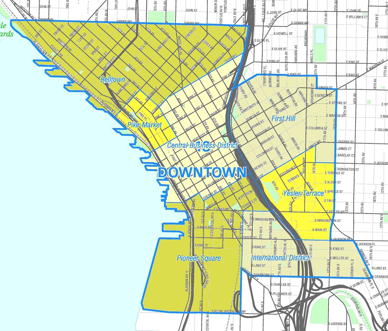
In Seattle, the names of the twelve streets in the heart of the central business district are paired by their first letters. From south to north, they are: Jefferson, James, Cherry, Columbia, Marion, Madison, Spring, Seneca, University, Union, Pike, Pine. One way to remember the order of the street pairs is with the mnemonic "Jesus Christ Made Seattle Under Protest" (or "Pressure") (JCMSUP). [5] [6][1]
Only one street in Seattle, Madison Street, runs uninterrupted from the salt water of Puget Sound in the west to the fresh water of Lake Washington in the east. The unusual orientation and contiguous nature of this street dates back to a time when it was a direct route to a cross-lake ferry between Madison Park and Houghton on the east side of Lake Washington. A cable car once operated on Madison Street from downtown Seattle to the ferry terminal at Madison Park, and the ferry route constituted an almost linear continuation of the street across the lake. Other historical cable cars ran along Yesler Way, Jackson Street, Queen Anne Avenue—"The Counterbalance", and 1st Avenue-2nd Avenue).[7] No street, excluding Interstate 5 and State Route 99—both freeways in whole or in part—runs without interruption from the northern to the southern city limits. This is largely the result of Seattle's topography. Split by the Duwamish River and the Lake Washington Ship Canal, containing four lakes within the city limits, and boasting deep ravines and at least seven hills[8] there are few more-or-less straight routes where such a road could reasonably be built, even allowing for the short bridge or two.
Seattle and King County make systematic use of directionals (such as N for north or NE for northeast) in street names, although residents often omit the directionals when describing addresses in their own neighborhoods. To a lesser degree, street types such as avenue and street are also used systematically. As a rule, "streets" run east–west (or, in and near downtown, northeast–southwest), and "avenues" run north–south (or, in and near downtown, northwest–southeast). A road, boulevard, way, or thoroughfare with any other type designation may run in any direction. The land boundaries of the district laid out according to the Denny and Boren plats that follow the shoreline are all "Ways" (Denny Way, Yesler Way, Broadway).
Furthermore:
Seattle is divided into ten sections, each with a different combination of directionals.[9]
North of the Lake Washington Ship Canal are the following sections: west of 1st Avenue NW, the NW section; between 1st Avenue NW and 1st Avenue NE, the N section; east of 1st Avenue NE, the NE section.
South of the canal but north of Denny Way are the following sections: west of Queen Anne Avenue N, the W section; between Queen Anne Avenue N and a border defined by Eastlake Avenue E (south of E Nelson Place) and Lake Union (north of E Nelson Place),[10] the Avenue N section, in which avenues are suffixed N and in which streets have no prefix; east of the Eastlake Avenue E–Lake Union border, the E section.
South of Denny Way but north of Yesler Way are two sections: east of Broadway from Yesler Way north to Union Street, east of Minor Avenue from Union Street north to Pike Street, and east of Melrose Avenue from Pike Street north to Denny Way, the E Street section, streets are prefixed E and avenues have no suffix; to the west of this border, the downtown section, no directionals are used.
South of Yesler Way are two sections: east of the waterfront and (south of the Duwamish Waterway) east of 1st Avenue S, the S section; and west of 1st Avenue S, the SW section. Within the Seattle city limits there is no SE section; however, the non-Seattle SE section contains all of the southeastern suburbs and the rest of southern King County, including Mercer Island, parts of Renton,[11] and Bellevue south of Main Street, Sammamish south of E Main Street, and other locations within the county.
The city defines three types of arterials — Principal, Minor, and Collector:[12]