Katana VentraIP

Tamworth Regional Council

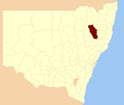
Tamworth Regional Council is a local government area in the New England region of New South Wales, Australia. The area under administration is located adjacent to the New England Highway and the Main North railway line. It was established in March 2004 through the amalgamation of the former City of Tamworth with surrounding shires of Barraba, Manilla, Nundle and Parry.[3]

This article is about the local government area. For the regional city, see Tamworth, New South Wales.

Tamworth Regional Council
New South Wales

63,070 (2021 census)[1]

6.3757/km2 (16.5129/sq mi)

March 2004

9,892.3 km2 (3,819.4 sq mi)[2]

Russell Webb (Independent)

Tamworth (Kevin Anderson)

The mayor of Tamworth Regional Council is Cr. Russell Webb, an independent politician.

Towns and villages[edit]

The area includes the city of Tamworth and the towns and villages of Attunga, Barraba, Bendemeer, Dungowan, Duri, Kootingal, Limbri, Manilla, Moonbi, Niangala, Nundle, Ogunbil, Somerton, Upper Manilla and Woolbrook.

Calala

Coledale

Daruka Estate

East Tamworth

Forest Hills

Hillvue

Kingswood

Nemingha

North Tamworth

Oxley Vale

South Tamworth

Taminda

Tamworth

Tamworth Central Business District

Westdale

West Tamworth

Kootingal, New England Highway: [4]

Moonby House

Manilla, Tamworth-Barraba railway: [5]

Manilla railway underbridges

Tamworth, Fitzroy Street: [6]

Tamworth Post Office

Tamworth, King George V Memorial Avenue (East): [7]

King George V Avenue of Memorial English Oaks

Tamworth, Main Northern railway: [8]

Tamworth railway station

Tamworth, Main Northern railway: [9]

Peel River railway bridge

Tamworth, Marius Street (East): [10]

Dominican Roman Catholic Convent

Tamworth, Peel Street (cnr): [11]

Tamworth Peel Barracks

Tamworth Region has a number of heritage-listed sites, including: