Khirbet Abu Falah
Khirbet Abu Falah (Arabic: خربة ابو فلاح, translates to "Ruins of the Farmer's Father") is a Palestinian village in the Ramallah and al-Bireh Governorate, located 26 kilometers (16 mi) north of Ramallah in the central West Bank. According to the Palestinian Central Bureau of Statistics (PCBS), the village had a population of 4,394 in the 2017 census.[3]
Khirbet Abu Falah
Geography[edit]
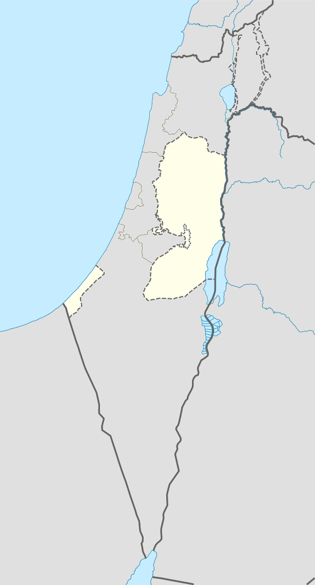
Khirbet Abu Falah is situated in a hilly area in the central highlands of the West Bank and has an average elevation of 743 meters above sea level. It is located 15.7 kilometers northeast of Ramallah. The nearest localities are al-Mazraa al-Sharqiyah to the southwest, Turmus Ayya to the north, al-Mughayyir to the east and Kafr Malik to the south.[2]
Demographics[edit]
Khirbet Abu Falah had a population of 2,900 in the 1997 census by the Palestinian Central Bureau of Statistics (PCBS). Palestinian refugees and their descendants accounted for 1.4% of the inhabitants.[24] In the 2007 PCBS census, Khirbet Abu Falah's population grew to 3,966. The number of households was 620, with each household containing an average of between six and seven members. Women made up 49% of the population and men 51%.[25]
The population is Muslim and there are three mosques in the village: the Old Mosque, the Eastern Mosque, and the Abu Ubeidah Mosque. The principal clans of Khirbet Abu Falah are Abu Murrah, Abu Falah, Al Fuqaha', Nazel, As Saraseer and Abu Hayyah. Since 2000, five families have emigrated from the village.[8]
Economy[edit]
The largest source of employment in Khirbet Abu Falah is the services sector, which accounts for about 50% of the village's labor force. Other major sectors are government or professional employment (20%), agriculture (17%) and trade (10%). Industry, which accounts for 3% of Khirbet Abu Falah's labor, largely revolves around the local stone masonry industry. There are three quarries, 30 grocery stores, two produce stores, three butcheries and three professional workshops in the village. In 2011, the unemployment rate in Khirbet Abu Falah was 20%.[8]
The village has a total area of 8,245 dunams. Built-up areas make up 8.4% of the village's land, while cultivable areas and open spaces constitute 56.4% and 35.1%, respectively. Of the cultivable areas, 3,981 dunams are planted with permanent crops, mainly olive trees and grains. About 5% of Khirbet Abu Falah's residents raise livestock and together own 835 sheep and 549 goats.[8]