History of geography
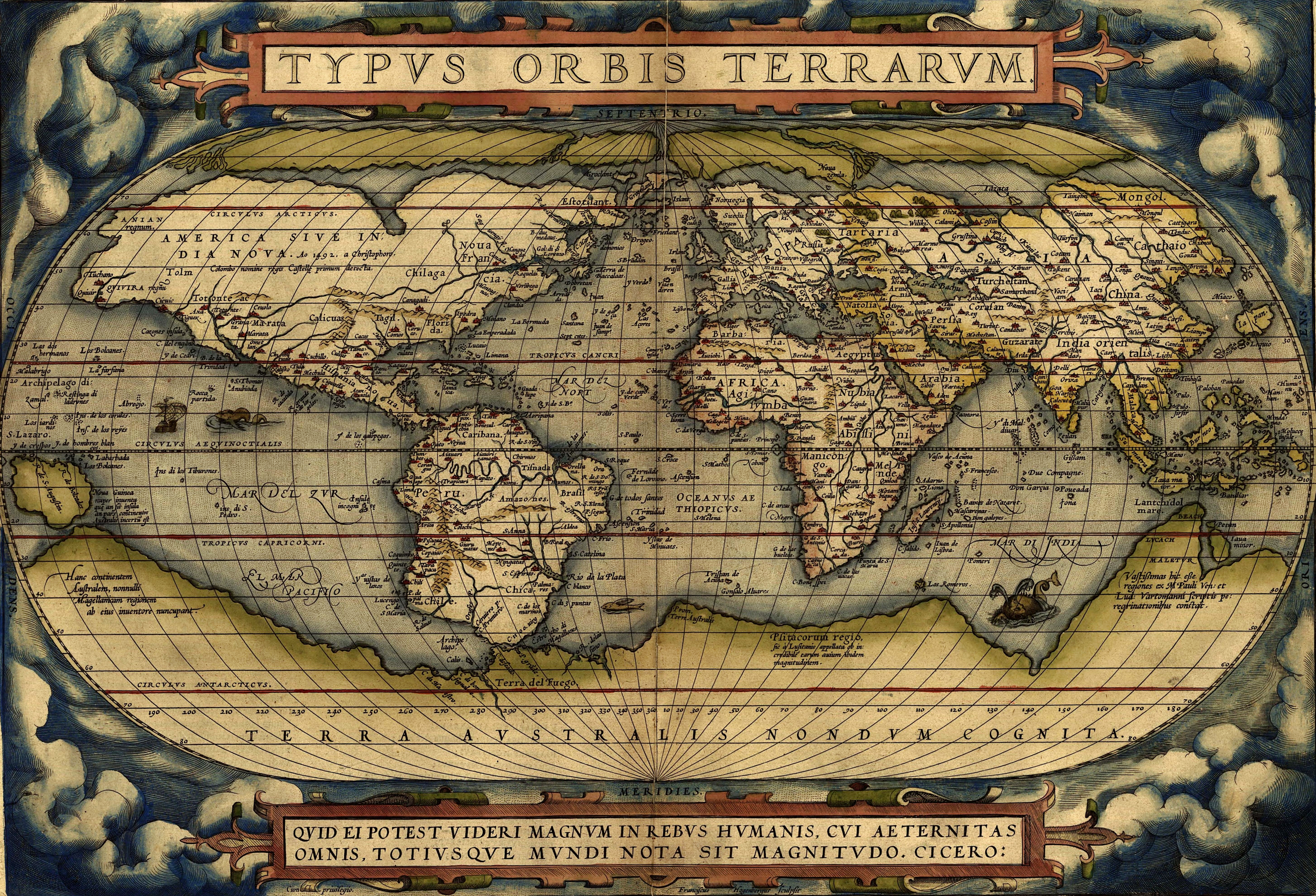
The history of geography includes many histories of geography which have differed over time and between different cultural and political groups. In more recent developments, geography has become a distinct academic discipline. 'Geography' derives from the Greek γεωγραφία – geographia,[1] literally "Earth-writing", that is, description or writing about the Earth. The first person to use the word geography was Eratosthenes (276–194 BC). However, there is evidence for recognizable practices of geography, such as cartography, prior to the use of the term.
Egypt[edit]
The known world of Ancient Egypt saw the Nile as the center, and the world as based upon "the" river. Various oases were known to the east and west, and were considered locations of various gods (e.g. Siwa, for Amon). To the South lay the Kushitic region, known as far as the 4th cataract. Punt was a region south along the shores of the Red Sea. Various Asiatic peoples were known as Retenu, Kanaan, Que, Harranu, or Khatti (Hittites). At various times especially in the Late Bronze Age Egyptians had diplomatic and trade relationships with Babylonia and Elam. The Mediterranean was called "the Great Green" and was believed to be part of a world encircling ocean. Europe was unknown although may have become part of the Egyptian world view in Phoenician times. To the west of Asia lay the realms of Keftiu, possibly Crete, and Mycenae (thought to be part of a chain of islands, that joined Cyprus, Crete, Sicily and later perhaps Sardinia, Corsica and the Balearics to Africa).[2]
Babylon[edit]
The oldest known world maps date back to ancient Babylon from the 9th century BC.[3] The best known Babylonian world map, however, is the Imago Mundi of 600 BC.[4] The map as reconstructed by Eckhard Unger shows Babylon on the Euphrates, surrounded by a circular landmass showing Assyria, Urartu[5] and several cities, in turn surrounded by a "bitter river" (Oceanus), with seven islands arranged around it so as to form a seven-pointed star. The accompanying text mentions seven outer regions beyond the encircling ocean. The descriptions of five of them have survived.[6]
In contrast to the Imago Mundi, an earlier Babylonian world map dating back to the 9th century BC depicted Babylon as being further north from the center of the world, though it is not certain what that center was supposed to represent.[3]
Middle Ages[edit]
Byzantine Empire and Syria[edit]
After the fall of the western Roman Empire, the Eastern Roman Empire, ruled from Constantinople and known as the Byzantine Empire, continued to thrive and produced several noteworthy geographers. Stephanus of Byzantium (6th century) was a grammarian at Constantinople and authored the important geographical dictionary Ethnica. This work is of enormous value, providing well-referenced geographical and other information about ancient Greece.
The geographer Hierocles (6th century) authored the Synecdemus (prior to AD 535) in which he provides a table of administrative divisions of the Byzantine Empire and lists the cities in each. The Synecdemus and the Ethnica were the principal sources of Constantine VII's work on the Themes or divisions of Byzantium, and are the primary sources we have today on political geography of the sixth-century East.
George of Cyprus is known for his Descriptio orbis Romani (Description of the Roman world), written in the decade 600–610.[36] Beginning with Italy and progressing counterclockwise including Africa, Egypt and the western Middle East, George lists cities, towns, fortresses and administrative divisions of the Byzantine or Eastern Roman Empire.
Cosmas Indicopleustes, (6th century) also known as "Cosmas the Monk", was an Alexandrian merchant.[37] By the records of his travels, he seems to have visited India, Sri Lanka, the Kingdom of Axum in modern Ethiopia, and Eritrea. Included in his work Christian Topography were some of the earliest world maps.[38][39][40] Though Cosmas believed the earth to be flat, most Christian geographers of his time disagreed with him.[41]
Syrian bishop Jacob of Edessa (633–708) adapted scientific material sourced from Aristotle, Theophrastus, Ptolemy and Basil to develop a carefully structured picture of the cosmos. He corrects his sources and writes more scientifically, whereas Basil's Hexaemeron is theological in style.[42]
Karl Müller has collected and printed several anonymous works of geography from this era, including the Expositio totius mundi.
21st century[edit]
Social theory/spatial analysis split[edit]
After an initial debate on the merits of positivism, where critical geographers attempted "to excise everything that went before in quantitative geography" and "overthrow the dominant quantitative approach" during the 1960s and 1970s, by 1995, GIS practitioners and quantitative geographers began to "decline comment" to critical geography in an academic context.[66][67] While quantitative geographers and critical geographers continued to work together in some context, a lack of "common vocabulary," and rounds of "polarizing debates," lead to a situation of "mutual indifference and absence of dialog between the two groups" during the 2000s.[67][68] The result of this split led to the creation of two camps within human geography that many view as irreconcilable, described by geographer Mei-Po Kwan as the "social-cultural geographies" and the "spatial-analytical geographies."[68]