The Bronx
The Bronx (/ðə brɒŋks/) is a borough of New York City, coextensive with Bronx County, in the U.S. state of New York. It is south of Westchester County; north and east of the New York City borough of Manhattan, across the Harlem River; and north of the New York City borough of Queens, across the East River. The Bronx is the only New York City borough not primarily located on an island. The Bronx has a land area of 42 square miles (109 km2) and a population of 1,472,654 at the 2020 census, its highest decennial census count ever.[1] If each borough were ranked as a city, the Bronx would rank as the ninth-most-populous in the U.S. Of the five boroughs, it has the fourth-largest area, fourth-highest population, and third-highest population density.[4] The population density of the Bronx was 32,718.7 inhabitants per square mile (12,632.8/km2) in 2022, the third-highest population density of any county in the United States, behind Manhattan and Brooklyn.[5] With a population that is 54.8% Hispanic as of 2020, it is the only majority-Hispanic county in the Northeastern United States and the fourth-most-populous nationwide.[6]
"Bronx" redirects here. For other uses, see Bronx (disambiguation).
The Bronx
Bronx County, New York
Bronx (coterminous)
1639
Vanessa Gibson (D)
– (Borough of the Bronx)
Darcel Clark (D)
– (Bronx County)
57 sq mi (150 km2)
42.2 sq mi (109 km2)
15 sq mi (40 km2) 27%
280 ft (90 m)
1,472,654[1]
34,918/sq mi (13,482/km2)
Bronxite[2]
US$43.675 billion (2022)
UTC–04:00 (EDT)
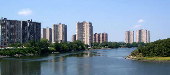
The Bronx is divided by the Bronx River into a hillier section in the west, and a flatter eastern section. East and west street names are divided by Jerome Avenue. The West Bronx was annexed to New York City in 1874, and the areas east of the Bronx River in 1895.[7] Bronx County was separated from New York County (modern-day Manhattan) in 1914.[8] About a quarter of the Bronx's area is open space,[9] including Woodlawn Cemetery, Van Cortlandt Park, Pelham Bay Park, the New York Botanical Garden, and the Bronx Zoo in the borough's north and center. The Thain Family Forest at the New York Botanical Garden is thousands of years old and is New York City's largest remaining tract of the original forest that once covered the city.[10] These open spaces are primarily on land reserved in the late 19th century as urban development progressed north and east from Manhattan.
The word "Bronx" originated with Swedish-born (or Faroese-born) Jonas Bronck, who established the first European settlement in the area as part of the New Netherland colony in 1639.[11][12][13] European settlers displaced the native Lenape after 1643. In the 19th and 20th centuries, the Bronx received many immigrant and migrant groups as it was transformed into an urban community, first from European countries particularly Ireland, Germany, Italy, and Eastern Europe, and later from the Caribbean region (particularly Puerto Rico, Trinidad, Haiti, Guyana, Jamaica, Barbados, and the Dominican Republic), and immigrants from West Africa (particularly from Ghana and Nigeria), African American migrants from the Southern United States, Panamanians, Hondurans, and South Asians.[14]
The Bronx contains the poorest congressional district in the United States, New York's 15th. There are, however, some upper-income, as well as middle-income neighborhoods such as Riverdale, Fieldston, Spuyten Duyvil, Schuylerville, Pelham Bay, Pelham Gardens, Morris Park, and Country Club.[15][16][17] Parts of the Bronx saw a steep decline in population, livable housing, and quality of life starting from the mid-to-late 1960s, continuing throughout the 1970s and into the 1980s, ultimately culminating in a wave of arson in the late 1970s, a period when hip hop music evolved.[18] The South Bronx, in particular, experienced severe urban decay. The borough began experiencing new population growth starting in the late 1990s and continuing to the present day.[19]