Sarajevo
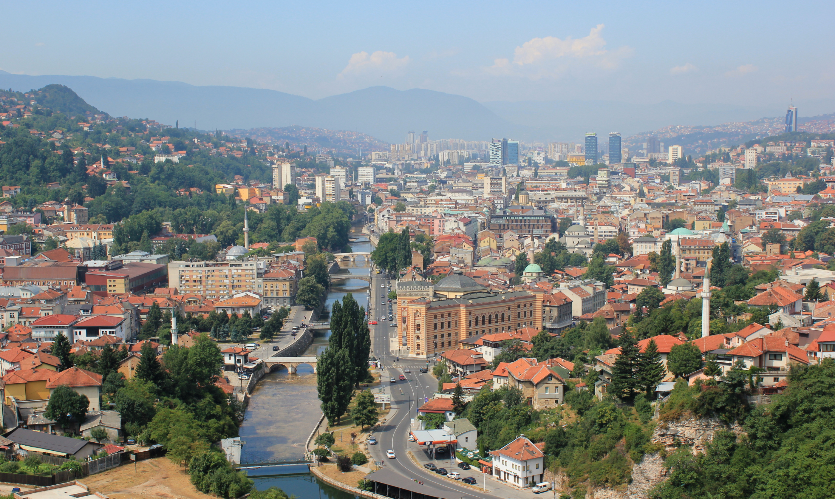
Sarajevo (/ˌsærəˈjeɪvoʊ/ SARR-ə-YAY-voh; Cyrillic: Сарајево, pronounced [sǎrajeʋo] ⓘ; see names in other languages) is the capital[5] and largest city of Bosnia and Herzegovina, with a population of 275,524 in its administrative limits.[6][4] The Sarajevo metropolitan area including Sarajevo Canton, East Sarajevo and nearby municipalities is home to 555,210 inhabitants.[a][4] Located within the greater Sarajevo valley of Bosnia, it is surrounded by the Dinaric Alps and situated along the Miljacka River in the heart of the Balkans, a region of Southern Europe.
For other uses, see Sarajevo (disambiguation).
Sarajevo
Сарајево
1461
141.5 km2 (54.6 sq mi)
419.16 km2 (161.84 sq mi)
3,350 km2 (1,290 sq mi)
550 m (1,800 ft)
275,524
1,900/km2 (5,000/sq mi)
419,957
1,000/km2 (2,600/sq mi)
555,210
170/km2 (430/sq mi)
- Sarajevan (English)
- Sarajlija (Bosnian)
+387 33
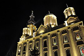
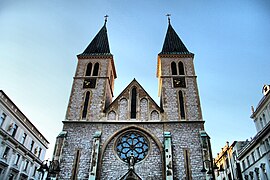
Sarajevo is the political, financial, social, and cultural center of Bosnia and Herzegovina and a prominent center of culture in the Balkans. It exerts region-wide influence in entertainment, media, fashion, and the arts.[7][8] Due to its long history of religious and cultural diversity, Sarajevo is sometimes called the "Jerusalem of Europe"[1] or "Jerusalem of the Balkans".[2] It is one of a few major European cities to have a mosque, Catholic church, Eastern Orthodox church, and synagogue within the same neighborhood.[9]
Although there is evidence of human settlement in the area since prehistoric times, the modern city arose in the 15th century as an Ottoman stronghold when the Ottoman empire extended into Europe.[10] Sarajevo has gained international renown several times throughout its history. In 1885, it was the first city in Europe and the second city in the world to have a full-time electric tram network running through the city, following San Francisco.[11]
In 1914, Sarajevo was the site of the assassination of Archduke Franz Ferdinand by a local Young Bosnia activist Gavrilo Princip, a murder that sparked World War I. This resulted in the end of Austro-Hungarian rule in Bosnia and the creation of the multicultural Kingdom of Yugoslavia in the Balkan region. Later, after World War II, the area was designated the capital of the communist Socialist Republic of Bosnia and Herzegovina within the Socialist Federal Republic of Yugoslavia, leading to rapid expansion of its population and businesses with investment in infrastructure and economic development.
In 1984, Sarajevo hosted the 1984 Winter Olympics, which marked a prosperous era for the city. However, after the start of the Yugoslav Wars, the city suffered the longest siege of a capital city in the history of modern warfare, for a total of 1,425 days, from April 1992 to February 1996, during the Bosnian War.
With continued post-war reconstruction in the aftermath, Sarajevo is the fastest growing city in Bosnia and Herzegovina.[12] The travel guide series Lonely Planet ranked Sarajevo as the 43rd best city in the world.[13] In December 2009, it recommended Sarajevo as one of the top ten cities to visit in 2010.[14]
In 2011, Sarajevo was nominated as the 2014 European Capital of Culture. It was selected to host the European Youth Olympic Festival.[15][16] In addition, in October 2019, Sarajevo was designated as a UNESCO Creative City for having placed culture at the center of its development strategies.[17][18] It is also ranked as one of the world's eighteen Cities of Film.[19]
Environment[edit]
Geography[edit]
Sarajevo is near the geometric center of the triangular-shaped Bosnia and Herzegovina and within the historical region of Bosnia proper. It is situated 518 m (1,699 ft) above sea level and lies in the Sarajevo valley, in the middle of the Dinaric Alps.[24]
The valley was once an expansive, fertile, and green space, but considerable urban expansion and development took place following World War II. Forested hills and five major mountains surround the city. The highest of the surrounding peaks is Treskavica at 2,088 m (6,850 ft), followed by Bjelašnica mountain at 2,067 m (6,781 ft), Jahorina at 1,913 m (6,276 ft), Trebević at 1,627 m (5,338 ft), and Igman the shortest at 1,502 m (4,928 ft). The last four are also known as the Olympic Mountains of Sarajevo.
When the city hosted the 1984 Winter Olympics, venues were constructed at these mountains for many winter sports events. The city is developed within hilly terrain; some steeply inclined streets and residences perch on the hillsides.
The Miljacka river is one of the city's chief geographic features. It flows through the city from east through the center of Sarajevo to the west part of the city, where it eventually meets up with the Bosna river. Miljacka River is also known as "The Sarajevo River". Its source (Vrelo Miljacke) is 2 km (1.2 mi) south of the town of Pale[25] at the foothills of Mount Jahorina, several kilometers to the east of Sarajevo center. The Bosna's source, Vrelo Bosne near Ilidža (west Sarajevo), is another notable natural landmark and a popular destination for Sarajevans and other tourists. Several smaller rivers and streams, such as Koševski Potok, also run through the city and its vicinity.


Thanks to steady but constant and stable growth after the war, today's built-up area includes not only previously mentioned urban municipalities but the urban part of Hadžići that is uninterruptedly connected to Ilidža, the westernmost part of the Sarajevo urban settlement, is inhabited by more than 419,000 people, while the metro area including 8 additional municipalities, 14 in total goes up to 555,210 inhabitants.[78] It is noticeable that the fastest-growing municipalities are Novi Grad, one of the main ones and the most inhabited one where the population has increased by almost 4,000 people or 2.95% since the 2013 census, and Ilidža that has recorded an increase of almost 7% since 2013.[70]
In June 2016, the final results of the 2013 census were published. According to the census, the population of the Sarajevo Canton was 413,593, with 55,181 residents in Centar, 118,553 in Novi Grad, 64,814 in Novo Sarajevo and 36,976 in Stari Grad.[79]
The last official Yugoslav census took place in 1991 and recorded 527,049 people living in the city of Sarajevo (ten municipalities). In the settlement of Sarajevo proper, there were 454,319 inhabitants.[80] The war displaced hundreds of thousands of people, a large majority of whom have not returned.
The war changed the ethnic and religious profile of the city. It had long been a multicultural city,[81] and often went by the nickname of "Europe's Jerusalem".[1] At the time of the 1991 census, 49.2 percent of the city's population of 527,049 were Bosniaks, 29.8 percent Serbs, 10.7 percent Yugoslavs, 6.6 percent Croats and 3.6 percent other ethnicities (Jews, Romas, etc.).
According to academic Fran Markowitz, there are several "administrative apparatuses and public pressures that push people who might prefer to identify as flexible, multiply constituted hybrids or with one of the now unnamed minority groups into one of the three Bosniac-Croat-Serb constituent nations".[82] These include respondents being encouraged by census interviewers to identity as belonging to one of the three constituent peoples.[83] Her analysis of marriage registration data shows, for instance, that 67 percent of people marrying in 2003 identified as Bosniak or Muslim, which is significantly lower than the 79.6 percent census figure from 2002 (unlike the census, where people respond to an interviewer, applicants to the marriage registry fill in the form themselves).
Transportation[edit]
Roads and highways[edit]
Sarajevo's location in a valley between mountains makes it a compact city. Narrow city streets and a lack of parking areas restrict automobile traffic but allow better pedestrian and cyclist mobility. The two main roads are Titova Ulica (Street of Marshal Tito) and the east–west Zmaj od Bosne (Dragon of Bosnia) highway (E761). Located roughly at the center of the country, Sarajevo is Bosnia's main intersection. The city is connected to all the other major cities by highway or national road like Zenica, Banja Luka, Tuzla, Mostar, Goražde and Foča.
Tourists from Central Europe and elsewhere visiting Dalmatia driving via Budapest through Sarajevo also contribute to the traffic congestion in and around Sarajevo. The trans-European highway, Corridor Vc, runs through Sarajevo connecting it to Budapest in the north, and Ploče at the Adriatic Sea in the south.[84] The highway is being built by the government and should cost 3.5 billion Euro. Up until March 2012, the Federation of Bosnia and Herzegovina invested around 600 million euros in the A1. In 2014, the sections Sarajevo-Zenica and Sarajevo-Tarčin were completed including the Sarajevo Beltway ring road.